Loading...
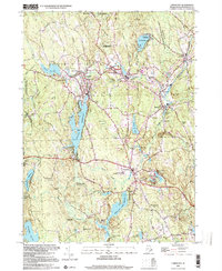
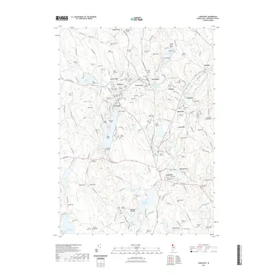
Loading map...1943 Map of Chepachet
USGS Topo · Published 1943About this map
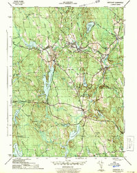
Durfee Hill stands as the geographic center of this 1943 survey, noted on the sheet as the highest point in Rhode Island. The landscape of Northwest Providence County is defined by a dense network of reservoirs and mill ponds that fueled the local textile economy, including Pascoag Reservoir, Wilson Reservoir, and Smith and Sayles Reservoir. Industrial centers like Pascoag, Harrisville, and Mapleville are clearly depicted along the Branch River and Clear River, served by the New Haven railroad line.
Find a feature on this map
49 named features on this map. Tap any name to fly to it.
Don’t see what you’re looking for? This feature index may not catch every label — zoom into the map to look around manually.
Map Details
Date Portrayed1943
Date Published1943
PublisherU.S. Geological Survey
Map TypeTopographic
Scale1:31,680
Physical Dimensions15.9 x 20 inches
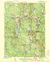
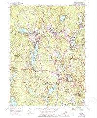
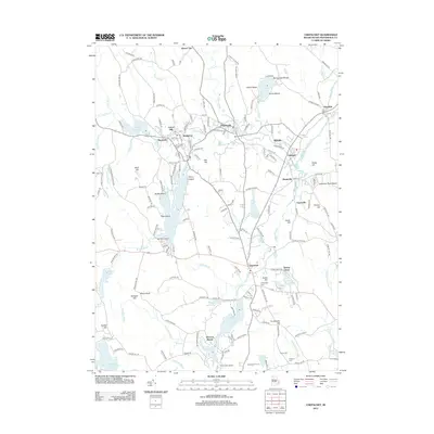
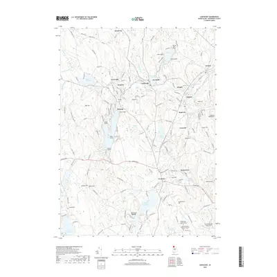
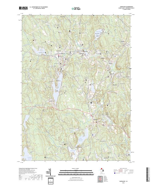
Editions of this 1943 Chepachet Map
3 editions found
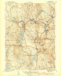
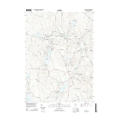
Historical Maps of Burrillville Through Time
8 maps found
Featured Locations
- Glocester, RI
- Burrillville, RI
- Mapleville, Burrillville
- Glendale, Burrillville
- Harrisville, Burrillville
Source Details
SourceU.S. Geological Survey
CopyrightPublic Domain