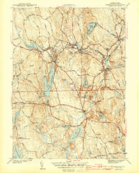
1943 Map of Chepachet
USGS Topo · Published 1943About this map
Durfee Hill, standing as the highest point in Rhode Island, anchors the southwestern corner of this survey conducted by J. W. Somers and D. G. Shrefler during the early 1940s. The landscape of Burrillville and Glocester is defined by an intricate network of mill-era water systems and transport corridors, including the New York New Haven and Hartford RR serving industrial villages like Pascoag, Harrisville, and Oakland.
Find a feature on this map
62 named features on this map. Tap any name to fly to it.
Don’t see what you’re looking for? This feature index may not catch every label — zoom into the map to look around manually.
Map Details
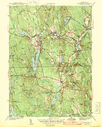
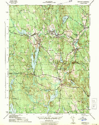
Editions of this 1943 Chepachet Map
3 editions found
Other maps of this area

1886 · Blackstone
USGS Topo · 1:62,500

1889 · Blackstone
USGS Topo · 1:62,500

1889 · Webster
USGS Topo · 1:62,500

1889 · Putnam
USGS Topo · 1:62,500

1889 · Burrillville
USGS Topo · 1:62,500

1892 · Webster
USGS Topo · 1:62,500

1893 · Putnam
USGS Topo · 1:62,500

1893 · Blackstone
USGS Topo · 1:62,500

1894 · Burrillville
USGS Topo · 1:62,500

1900 · Blackstone
USGS Topo · 1:62,500
Featured Places
- Burrillville, RI
- Glocester, RI
- Mapleville, Burrillville
- Harrisville, Burrillville
- Glendale, Burrillville