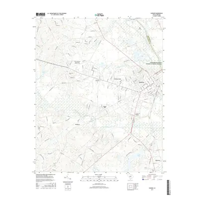
2017 Map of Cheraw
USGS Topo · Published 2017About this map
Cheraw serves as the focal point of this survey, situated where the Pee Dee River and the Little Pee Dee River shape the landscape on the border of Chesterfield and Marlboro counties. The town's layout is well-defined, transitioning from the historic core near Saint Davids Cem and Hicks Cr to more modern developments such as Windsor Park and Fisher Hill. A notable concentration of aviation and education infrastructure is present to the west, including Cheraw Municipal Airport Lynch Bellinger Field and the Northeastern Technical Coll. The surrounding countryside is defined by a dense network of tributaries like Thompson Creek and Beaver Cr, alongside small rural settlements at Kimberly and Montrose. Several family and community cemeteries are documented throughout, including Smithville Cem and Mount Olivet Cem, offering valuable data for genealogical research.
Find a feature on this map
142 named features on this map. Tap any name to fly to it.
Don’t see what you’re looking for? This feature index may not catch every label — zoom into the map to look around manually.
Map Details
Editions of this 2017 Cheraw Map
This is the sole edition of this map. No revisions or reprints were ever made.
Other maps of this area

1941 · Spartanburg
USGS Topo · 1:250,000

1942 · Rockingham
USGS Topo · 1:125,000

1953 · Florence
USGS Topo · 1:250,000

1953 · Spartanburg
USGS Topo · 1:250,000

1954 · Florence
USGS Topo · 1:250,000

1960 · Spartanburg
USGS Topo · 1:250,000

1963 · Spartanburg
USGS Topo · 1:250,000

1964 · Spartanburg
USGS Topo · 1:250,000

1968 · Chesterfield
USGS Topo · 1:24,000

1968 · Patrick
USGS Topo · 1:24,000