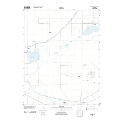
2010 Map of Cheraw
USGS Topo · Published 2010About this map
Cheraw and its surrounding agricultural plains are defined by an extensive network of irrigation infrastructure in this 2010 study of Otero County. The landscape is dominated by large-scale water management features, including the Fort Lyon Storage Canal, Lake Canal, and the Holbrook Outlet Ditch, which feed into major bodies like Holbrook Reservoir and Cheraw Lake. This hydraulic system supports the scattered communities of Swink, Randall, and Shelton, while the southern reaches of the map show the transition into the urban fringes of North La Junta and La Junta Gardens along the banks of the Arkansas River. For genealogists, the Holbrook Cemetery and the grid of county roads provide specific geographic markers for tracing family lands. The presence of the La Junta Municipal Airport and various named laterals like the Jackson Lateral illustrate the intersection of modern transport and established high-plains water rights.
Find a feature on this map
48 named features on this map. Tap any name to fly to it.
Don’t see what you’re looking for? This feature index may not catch every label — zoom into the map to look around manually.
Map Details
Editions of this 2010 Cheraw Map
This is the sole edition of this map. No revisions or reprints were ever made.
Other maps of this area

1891 · Catlin
USGS Topo · 1:125,000

1891 · Higbee
USGS Topo · 1:125,000

1891 · Las Animas
USGS Topo · 1:125,000

1891 · Timpas
USGS Topo · 1:125,000

1893 · Higbee
USGS Topo · 1:125,000

1893 · Las Animas
USGS Topo · 1:125,000

1893 · Catlin
USGS Topo · 1:125,000

1894 · Timpas
USGS Topo · 1:125,000

1953 · Cheraw
USGS Topo · 1:24,000

1953 · Hadley
USGS Topo · 1:24,000