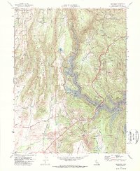
1970 Map of Cherokee
USGS Topo · Published 1973About this map
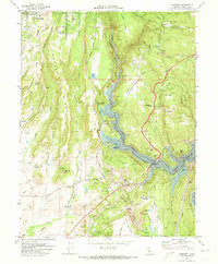
The Lake Oroville State Recreation Area dominates this landscape, showing the reservoir’s intricate shoreline and submerged topography as it appeared shortly after completion of the dam. The West Branch Feather River winds through the center of the sheet, crossed by the West Branch Bridge and lined with technical infrastructure like the Lime Saddle Powerhouse and several siphons. This era shows a transition from historical extraction to modern recreation, with extensive Dredge Tailings and the Cherokee Placer Mine south of Cherokee contrasting with the new Boat Ramp facilities and park areas.
Find a feature on this map
65 named features on this map. Tap any name to fly to it.
Don’t see what you’re looking for? This feature index may not catch every label — zoom into the map to look around manually.
Map Details
Editions of this 1970 Cherokee Map
2 editions found
Other maps of this area

1888 · Bidwell Bar
USGS Topo · 1:125,000

1891 · Bidwell Bar
USGS Topo · 1:125,000

1891 · Chico
USGS Topo · 1:125,000

1893 · Chico
USGS Topo · 1:125,000

1893 · Bidwell Bar
USGS Topo · 1:125,000

1895 · Bidwell Bar
USGS Topo · 1:125,000

1895 · Chico
USGS Topo · 1:125,000

1897 · Bidwell Bar
USGS Topo · 1:125,000

1912 · Dry Creek
USGS Topo · 1:31,680

1912 · Oroville
USGS Topo · 1:31,680