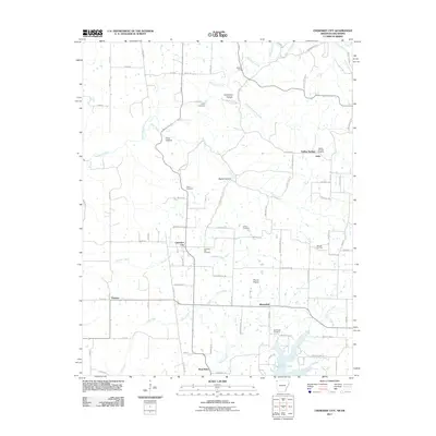
2011 Map of Cherokee City
USGS Topo · Published 2011About this map
Cherokee City and the surrounding borderlands of Benton County appear here in detail just after the first decade of the 21st century. This region is defined by a series of north-south running hollows and creek beds, including Columbia Hollow and Backer Hollow, which carve through the landscape toward the Spavinaw Creek drainage. The settlement at Bloomfield sits adjacent to the wide, open Round Prairie, illustrating the traditional division between the wooded draws and the upland agricultural plains.
Find a feature on this map
71 named features on this map. Tap any name to fly to it.
Don’t see what you’re looking for? This feature index may not catch every label — zoom into the map to look around manually.
Map Details
Editions of this 2011 Cherokee City Map
This is the sole edition of this map. No revisions or reprints were ever made.
Other maps of this area

1899 · Fayetteville
USGS Topo · 1:125,000

1899 · Siloam Springs
USGS Topo · 1:125,000

1901 · Fayetteville
USGS Topo · 1:125,000

1903 · Siloam Springs
USGS Topo · 1:125,000

1904 · Siloam Springs
USGS Topo · 1:125,000

1904 · Fayetteville
USGS Topo · 1:125,000

1954 · Tulsa
USGS Topo · 1:250,000

1958 · Tulsa
USGS Topo · 1:250,000

1963 · Tulsa
USGS Topo · 1:250,000

1970 · Gallatin
USGS Topo · 1:24,000