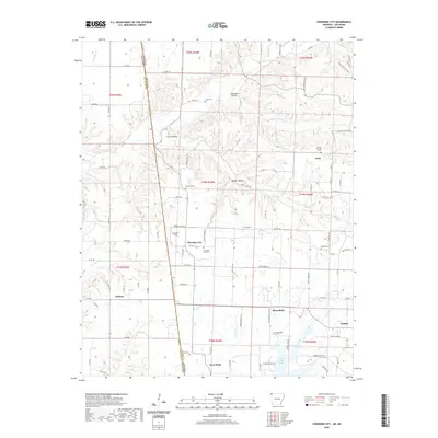
2020 Map of Cherokee City
USGS Topo · Published 2020About this map
Cherokee City and the surrounding borderlands of Benton County, Arkansas, and Delaware County, Oklahoma, are defined by a landscape of creek-fed hollows and dispersed rural settlements. The topography is shaped by watercourses like Spavinaw Cr, Coon Cr, and Cherokee Cr, which carve through features such as Columbia Hollow and Backer Hollow. This 2020 survey illustrates a contemporary view of small communities including Bloomfield, Ionia, and Tonnece, where the road network follows both the section lines of the Public Land Survey System and the natural contours of the valley floors. Genealogists will find a concentration of local burial grounds, ranging from the Cherokee City Cem to the Falling Springs Cem and Bozarth Cem, reflecting the deep-rooted family history of the area. To the southeast, the town of Gentry serves as a more developed hub near Lake Flint Creek, illustrating the shift from isolated farmsteads to centralized townships.
Find a feature on this map
91 named features on this map. Tap any name to fly to it.
Don’t see what you’re looking for? This feature index may not catch every label — zoom into the map to look around manually.
Map Details
Editions of this 2020 Cherokee City Map
This is the sole edition of this map. No revisions or reprints were ever made.
Other maps of this area

1899 · Fayetteville
USGS Topo · 1:125,000

1899 · Siloam Springs
USGS Topo · 1:125,000

1901 · Fayetteville
USGS Topo · 1:125,000

1903 · Siloam Springs
USGS Topo · 1:125,000

1904 · Siloam Springs
USGS Topo · 1:125,000

1904 · Fayetteville
USGS Topo · 1:125,000

1954 · Tulsa
USGS Topo · 1:250,000

1958 · Tulsa
USGS Topo · 1:250,000

1963 · Tulsa
USGS Topo · 1:250,000

1970 · Gallatin
USGS Topo · 1:24,000