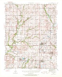
1943 Map of Cherokee
USGS Topo · Published 1972About this map
Strip mines dominate the landscape of southeast Kansas in this mid-century survey, revealing an intensive era of surface extraction across the Crawford and Cherokee county line. The region is densely populated with small mining towns and rail-connected settlements, including Scammon, Weir, and West Mineral. This coal-driven economy is supported by a complex web of railroads, with the Missouri Pacific, St Louis San Francisco, and Missouri Kansas Texas lines weaving between industrial pits and agricultural tracts.
Find a feature on this map
62 named features on this map. Tap any name to fly to it.
Don’t see what you’re looking for? This feature index may not catch every label — zoom into the map to look around manually.
Map Details
Editions of this 1943 Cherokee Map
This is the sole edition of this map. No revisions or reprints were ever made.
Other maps of this area
1884 · Fort Scott
USGS Topo · 1:125,000

1886 · Joplin
USGS Topo · 1:125,000
1886 · Iola
USGS Topo · 1:125,000
1886 · Fort Scott
USGS Topo · 1:125,000
1886 · Parsons
USGS Topo · 1:125,000
1893 · Fort Scott
USGS Topo · 1:125,000
1893 · Iola
USGS Topo · 1:125,000
1893 · Parsons
USGS Topo · 1:125,000
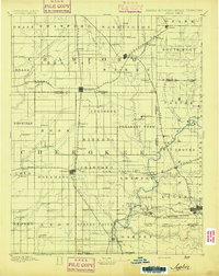
1894 · Joplin
USGS Topo · 1:125,000
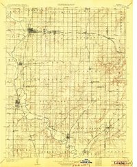
1904 · Iola
USGS Topo · 1:125,000