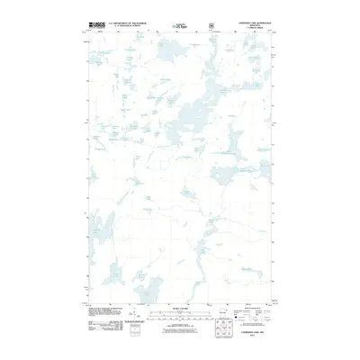
2011 Map of Cherokee Lake
USGS Topo · Published 2011About this map
Sawbill Lake and its surrounding hydrologic network define this corner of Cook County, where a dense cluster of interconnected water bodies dominates the landscape. The intricate drainage system is characterized by numerous small basins and narrow waterways, including Ada Creek and Burnt Creek. Named features often reflect a whimsical or evocative naming convention likely used by early travelers and surveyors, such as No Sleep Lake, Choker Lake, and Sneaker Lake.
Find a feature on this map
67 named features on this map. Tap any name to fly to it.
Don’t see what you’re looking for? This feature index may not catch every label — zoom into the map to look around manually.
Map Details
Editions of this 2011 Cherokee Lake Map
This is the sole edition of this map. No revisions or reprints were ever made.
Other maps of this area
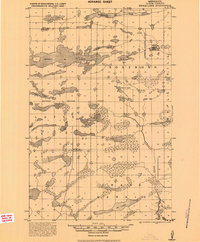
1919 · Brule Lake
USGS Topo · 1:62,500
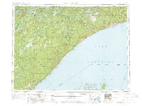
1954 · Two Harbors
USGS Topo · 1:250,000
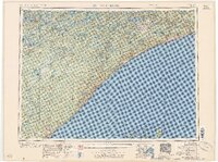
1957 · Two Harbors
USGS Topo · 1:250,000
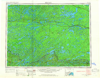
1957 · Quetico
USGS Topo · 1:250,000
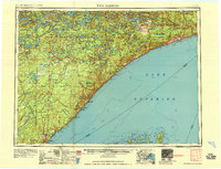
1958 · Two Harbors
USGS Topo · 1:250,000
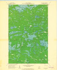
1959 · Gillis Lake
USGS Topo · 1:24,000
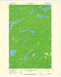
1960 · Tait Lake
USGS Topo · 1:24,000
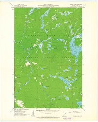
1960 · Sawbill Camp
USGS Topo · 1:24,000
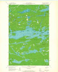
1960 · Brule Lake
USGS Topo · 1:24,000
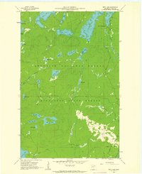
1960 · Beth Lake
USGS Topo · 1:24,000