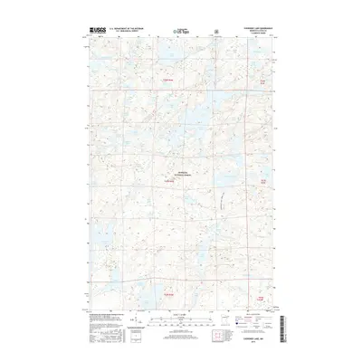
2016 Map of Cherokee Lake
USGS Topo · Published 2016About this map
The Superior National Forest dominates this section of the Minnesota wilderness, characterized by an intricate network of interconnected glacial lakes and drainage systems. The Frost River meanders through the northern portion of the quadrangle, linking water bodies such as Frost Lake, Iris Lake, and Chase Lake. This landscape is a classic representation of the Boundary Waters region, where travel was historically dictated by water routes and portages between named features like Sawbill Lake and Ada Lake. The map reveals a specific nomenclature of the area, with evocative groupings such as Smoke Lake, Flame Lake, and Burnt Lake in the southwest, alongside more descriptive names like Siamese Lakes and Triplet Lakes. No major roads or settlements are present, reflecting the preserved primitive character of this protected forest land in the early twenty-first century.
Find a feature on this map
75 named features on this map. Tap any name to fly to it.
Don’t see what you’re looking for? This feature index may not catch every label — zoom into the map to look around manually.
Map Details
Editions of this 2016 Cherokee Lake Map
This is the sole edition of this map. No revisions or reprints were ever made.
Other maps of this area

1919 · Brule Lake
USGS Topo · 1:62,500

1954 · Two Harbors
USGS Topo · 1:250,000

1957 · Two Harbors
USGS Topo · 1:250,000

1957 · Quetico
USGS Topo · 1:250,000

1958 · Two Harbors
USGS Topo · 1:250,000

1959 · Gillis Lake
USGS Topo · 1:24,000

1960 · Tait Lake
USGS Topo · 1:24,000

1960 · Sawbill Camp
USGS Topo · 1:24,000

1960 · Brule Lake
USGS Topo · 1:24,000

1960 · Beth Lake
USGS Topo · 1:24,000