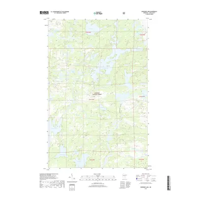
2019 Map of Cherokee Lake
USGS Topo · Published 2019About this map
Cherokee Lake serves as a central waterway in this northern wilderness, which is protected as part of the Superior National Forest. This high-country landscape in the late 2010s is defined by its complex interconnected hydrography, where the Frost River and Cherokee Cr weave through dozens of named water bodies. Historically significant for its lack of modern development, the area's geography remains largely unchanged from its early survey records, preserving a network of glacial lakes including Gunflint Lake, Brule Lake, and Ada Lake. The map reveals a dense concentration of smaller basins with evocative names like No Sleep Lake, Myth Lake, and Hide Lake, illustrating the intricate drainage patterns of the Boundary Waters region. This specific survey provides researchers with a baseline of water levels and shoreline positions for both large bodies like Frost Lake and smaller, remote pools such as Dalbec Lake and Clam Lake.
Find a feature on this map
63 named features on this map. Tap any name to fly to it.
Don’t see what you’re looking for? This feature index may not catch every label — zoom into the map to look around manually.
Map Details
Editions of this 2019 Cherokee Lake Map
This is the sole edition of this map. No revisions or reprints were ever made.
Other maps of this area

1919 · Brule Lake
USGS Topo · 1:62,500

1954 · Two Harbors
USGS Topo · 1:250,000

1957 · Two Harbors
USGS Topo · 1:250,000

1957 · Quetico
USGS Topo · 1:250,000

1958 · Two Harbors
USGS Topo · 1:250,000

1959 · Gillis Lake
USGS Topo · 1:24,000

1960 · Tait Lake
USGS Topo · 1:24,000

1960 · Sawbill Camp
USGS Topo · 1:24,000

1960 · Brule Lake
USGS Topo · 1:24,000

1960 · Beth Lake
USGS Topo · 1:24,000