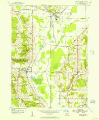
1954 Map of Cherry Creek
USGS Topo · Published 1956About this map
South Dayton and Cherry Creek anchor this mid-century portrait of Western New York, where the Erie RR line connects rural trade centers across the Chautauqua and Cattaraugus County line. The landscape is defined by the complex hydrology of the West Branch Conewango Creek, where engineered segments like the Dredge Ditch and Drainage Ditch indicate efforts to manage the low-lying valley floor for agriculture. This transition from natural watercourses to straightened ditches reveals the intensive land-use patterns typical of the 1950s. The map serves as a detailed record of local community nodes, featuring numerous named intersections and institutions such as Pine Valley Central Sch, Millmans Corners, and the Union Cem. Local elevations like Aldrich Hill and Pickup Hill rise sharply above the creek bottoms, framing a network of farm roads and small schools that characterized the era's rural geography.
Find a feature on this map
49 named features on this map. Tap any name to fly to it.
Don’t see what you’re looking for? This feature index may not catch every label — zoom into the map to look around manually.
Map Details
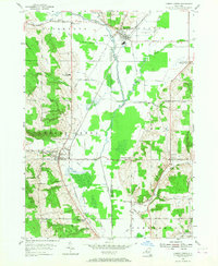
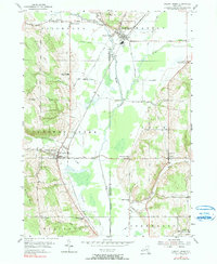
Editions of this 1954 Cherry Creek Map
3 editions found
Other maps of this area

1900 · Cherry Creek
USGS Topo · 1:62,500

1905 · Jamestown
USGS Topo · 1:62,500

1922 · Randolph
USGS Topo · 1:62,500

1923 · Randolph
USGS Topo · 1:62,500

1923 · Cattaraugus
USGS Topo · 1:62,500

1938 · Cattaraugus
USGS Topo · 1:62,500

1941 · Cattaraugus
USGS Topo · 1:62,500

1941 · Cherry Creek
USGS Topo · 1:62,500

1942 · Jamestown
USGS Topo · 1:62,500

1943 · Randolph
USGS Topo · 1:62,500