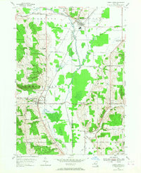
1954 Map of Cherry Creek
USGS Topo · Published 1968About this map
The West Branch Conewango Creek valley defines this landscape at the boundary of Chautauqua and Cattaraugus counties, where the Erie RR and a network of dairy-era roads connect small agricultural crossroads. The village of Cherry Creek stands as a primary hub, complete with its RR Sta and the Shattuck School, while South Dayton anchors the northern portion of the sheet near Skunks Corner. The terrain transitions from the broad, ditched lowlands of the Dredge Ditch to the higher elevations of Aldrich Hill and Pickup Hill. Local genealogy is well-served by numerous named intersections like Balcom Corners, Meyers Corners, and Rays Corners, alongside rural educational landmarks such as the Pine Valley Central Sch and Gardner Sch. The presence of the Union Cem near Leon and the systematic Drainage Ditch system reflect the mid-century effort to manage the marshy creek bottoms for productive use.
Find a feature on this map
47 named features on this map. Tap any name to fly to it.
Don’t see what you’re looking for? This feature index may not catch every label — zoom into the map to look around manually.
Map Details
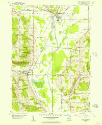
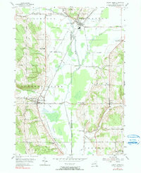
Editions of this 1954 Cherry Creek Map
3 editions found
Other maps of this area

1900 · Cherry Creek
USGS Topo · 1:62,500

1905 · Jamestown
USGS Topo · 1:62,500

1922 · Randolph
USGS Topo · 1:62,500

1923 · Randolph
USGS Topo · 1:62,500

1923 · Cattaraugus
USGS Topo · 1:62,500

1938 · Cattaraugus
USGS Topo · 1:62,500

1941 · Cattaraugus
USGS Topo · 1:62,500

1941 · Cherry Creek
USGS Topo · 1:62,500

1942 · Jamestown
USGS Topo · 1:62,500

1943 · Randolph
USGS Topo · 1:62,500