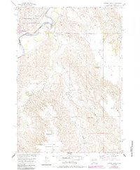
1956 Map of Cherry Creek
USGS Topo · Published 1987About this map
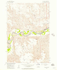
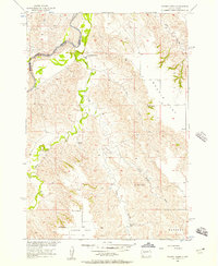
The Cheyenne River winds through this mid-century landscape, marking a significant portion of the Reservation Boundary. To the north, the Cheyenne River Indian Reservation encompasses the settlement of Cherry Creek, while the land to the south transitions into the high plains of Maupin Flat and Hudson Flat. This geography illustrates the mid-20th-century ranching economy of Ziebach and Haakon Counties, characterized by isolated homesteads such as Buchholtz Ranch and Towne Ranch. Educational needs of this rural expanse were served by the Maupin Sch, located near the confluence of Plum Creek. The terrain is defined by dramatic breaks and draws, including Stony Butte Draw and Deep Creek, which lead toward the prominent elevation of Stony Butte. This survey serves as a detailed record of the Missouri River Basin development era, documenting the various Flowing Wells and family-named landmarks that sustained life in this semi-arid region.
Find a feature on this map
21 named features on this map. Tap any name to fly to it.
Don’t see what you’re looking for? This feature index may not catch every label — zoom into the map to look around manually.
Map Details
Editions of this 1956 Cherry Creek Map
3 editions found
Other maps of this area

1954 · Pierre
USGS Topo · 1:250,000

1955 · Rattlesnake Lake SE
USGS Topo · 1:24,000

1955 · Rattlesnake Lake NE
USGS Topo · 1:24,000
1956 · Kirley
USGS Topo · 1:24,000
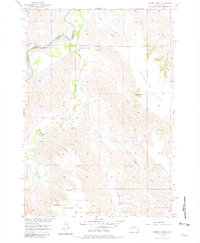
1956 · Cherry Creek NW
USGS Topo · 1:24,000
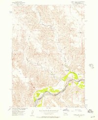
1956 · Carlin Flat
USGS Topo · 1:24,000
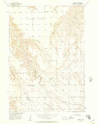
1956 · Cherry Creek
USGS Topo · 1:24,000

1958 · Pierre
USGS Topo · 1:250,000
1983 · Philip
USGS Topo · 1:100,000
1983 · Moenville
USGS Topo · 1:24,000