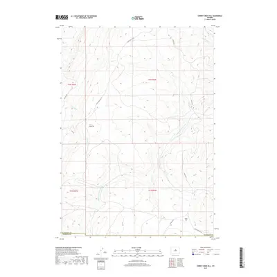
2017 Map of Cherry Creek Hill
USGS Topo · Published 2017About this map
Cherry Creek Hill rises as a prominent landmark in this upland landscape of southern Washakie County, situated along the divide that separates various drainage systems. The Middle Fork Powder River carves through the lower portion of the terrain, joined by a complex network of tributaries including Bar C Cr, Sullivan Cr, and Spring Cr. This territory, mapped in 2017, illustrates the sparse infrastructure of the Big Horn Basin's southern reaches, where access is limited to a few arterial routes like Hazelton Rd and Cherry Creek Hill Rd. The southern boundary of the map coincides with the county line near Natrona Co, passing through the broad expanse of Kidd Flat. The mapping of these drainages, from Box Elder Cr to Rough Cr, provides a clear view of the water sources that have historically defined land use and movement through this high country.
Find a feature on this map
22 named features on this map. Tap any name to fly to it.
Don’t see what you’re looking for? This feature index may not catch every label — zoom into the map to look around manually.
Map Details
Editions of this 2017 Cherry Creek Hill Map
This is the sole edition of this map. No revisions or reprints were ever made.
Other maps of this area

1952 · Grave Spring
USGS Topo · 1:24,000

1952 · Badwater NE
USGS Topo · 1:24,000

1955 · Arminto
USGS Topo · 1:250,000

1958 · Arminto
USGS Topo · 1:250,000

1962 · Arminto
USGS Topo · 1:250,000

1967 · Mahogany Butte
USGS Topo · 1:24,000

1967 · Horse Butte
USGS Topo · 1:24,000

1967 · Gordon Creek
USGS Topo · 1:24,000

1967 · Turk Springs
USGS Topo · 1:24,000
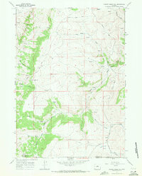
1967 · Cherry Creek Hill
USGS Topo · 1:24,000