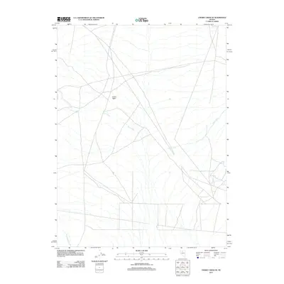
2011 Map of Cherry Creek SE
USGS Topo · Published 2011About this map
Buffalo Valley dominates this 2011 perspective of Nevada’s interior, where drainage patterns define the desert floor of Humboldt County. The landscape is characterized by intermittent watercourses like Cherry Creek and Timber Creek, which illustrate the hydrological character of the Great Basin. These alluvial features converge and disperse across the flats, reflecting a terrain shaped by seasonal moisture and drainage from surrounding heights. In the southwestern corner, Perry Canyon Creek emerges into the valley, marking one of the primary points where mountain runoff reaches the basin floor. This map captures a modern view of a largely uninhabited expanse, highlighting the enduring natural geography and primitive road networks that continue to serve ranching or mineral interests in this part of the state.
Find a feature on this map
4 named features on this map. Tap any name to fly to it.
Don’t see what you’re looking for? This feature index may not catch every label — zoom into the map to look around manually.
Map Details
Editions of this 2011 Cherry Creek SE Map
This is the sole edition of this map. No revisions or reprints were ever made.
Other maps of this area

1932 · Sonoma Range
USGS Topo · 1:250,000

1939 · Sonoma Range
USGS Topo · 1:250,000

1940 · Antler Peak
USGS Topo · 1:62,500

1943 · Antler Peak
USGS Topo · 1:62,500

1955 · Winnemucca
USGS Topo · 1:250,000

1958 · Winnemucca
USGS Topo · 1:250,000

1961 · McCoy
USGS Topo · 1:62,500

1962 · Winnemucca
USGS Topo · 1:250,000

1962 · Buffalo Springs
USGS Topo · 1:62,500
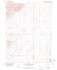
1965 · Cherry Creek NE
USGS Topo · 1:24,000