
1961 Map of McCoy
USGS Topo · Published 1962About this map
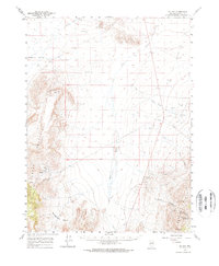
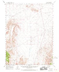
McCoy sits in the valley floor between the Fish Creek Mountains and the Shoshone Range, serving as a focal point for mining activity in this part of Lander County. The 1961 landscape is defined by its industrial water infrastructure and mineral extraction, including the McCoy Mine and Mountain Springs Mine. These operations relied on a network of remote water sources such as Pickett Well and Natomas Well, alongside natural features like Mound Springs and Redrock Spring.
Find a feature on this map
28 named features on this map. Tap any name to fly to it.
Don’t see what you’re looking for? This feature index may not catch every label — zoom into the map to look around manually.
Map Details
Editions of this 1961 McCoy Map
3 editions found
Other maps of this area

1932 · Sonoma Range
USGS Topo · 1:250,000

1939 · Sonoma Range
USGS Topo · 1:250,000

1940 · Antler Peak
USGS Topo · 1:62,500

1943 · Antler Peak
USGS Topo · 1:62,500

1949 · Mt. Lewis
USGS Topo · 1:62,500

1950 · Mt. Lewis
USGS Topo · 1:62,500

1955 · Winnemucca
USGS Topo · 1:250,000

1957 · Battle Mountain
USGS Topo · 1:62,500

1958 · Winnemucca
USGS Topo · 1:250,000

1961 · The Cedars
USGS Topo · 1:62,500