
1957 Map of Battle Mountain
USGS Topo · Published 1958About this map
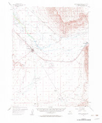
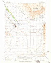
Battle Mountain stands as the central hub of this Great Basin landscape, situated at the confluence of the Humboldt River and the Reese River. The 1950s infrastructure reveals a critical crossroads where the Southern Pacific and Western Pacific railroads parallel the ancient California Trail. This confluence of transport history is anchored by the Battle Mountain Indian Colony and the Lander County Airport, reflecting the layered social and industrial development of the high desert.
Find a feature on this map
65 named features on this map. Tap any name to fly to it.
Don’t see what you’re looking for? This feature index may not catch every label — zoom into the map to look around manually.
Map Details
Editions of this 1957 Battle Mountain Map
3 editions found
Other maps of this area

1932 · Sonoma Range
USGS Topo · 1:250,000

1939 · Sonoma Range
USGS Topo · 1:250,000

1940 · Antler Peak
USGS Topo · 1:62,500

1943 · Antler Peak
USGS Topo · 1:62,500

1949 · Crescent Valley
USGS Topo · 1:62,500

1949 · Mt. Lewis
USGS Topo · 1:62,500

1950 · Mt. Lewis
USGS Topo · 1:62,500

1950 · Crescent Valley
USGS Topo · 1:62,500

1955 · Winnemucca
USGS Topo · 1:250,000

1957 · Dunphy
USGS Topo · 1:62,500