
1961 Map of The Cedars
USGS Topo · Published 1963About this map
The Reese River flows through the central valley of this 1960s survey, flanked by the Fish Creek Mountains to the west and the Shoshone Range to the east. This high-desert landscape in Lander County is defined by its water sources and ranching infrastructure, featuring established points like Fish Creek Ranch and various water works including Palo Alto Wells and Bridges Well. The presence of an Old Railroad Grade running parallel to the river suggests a corridor of former transport and commerce that once linked these remote basins.
Find a feature on this map
34 named features on this map. Tap any name to fly to it.
Don’t see what you’re looking for? This feature index may not catch every label — zoom into the map to look around manually.
Map Details
Editions of this 1961 The Cedars Map
3 editions found
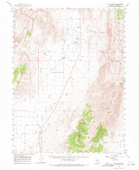
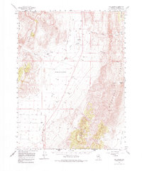
Other maps of this area

1926 · Roberts Mountains
USGS Topo · 1:250,000

1929 · Roberts Mountains
USGS Topo · 1:250,000

1932 · Sonoma Range
USGS Topo · 1:250,000

1939 · Sonoma Range
USGS Topo · 1:250,000

1949 · Mt. Lewis
USGS Topo · 1:62,500

1950 · Mt. Lewis
USGS Topo · 1:62,500

1955 · Millett
USGS Topo · 1:250,000

1955 · Winnemucca
USGS Topo · 1:250,000

1956 · Hall Creek
USGS Topo · 1:62,500

1958 · Winnemucca
USGS Topo · 1:250,000