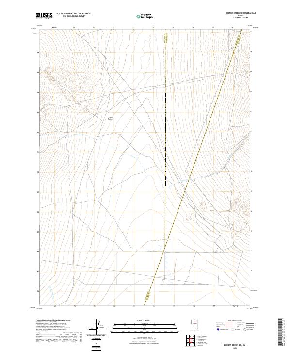
2021 Map of Cherry Creek SE
USGS Topo · Published 2021About this map
Buffalo Valley dominates this high-desert landscape in northern Nevada, where the convergence of three counties—Pershing, Humboldt, and Lander—marks a significant administrative boundary. This 2021 survey illustrates a region defined by its hydrography and drainage patterns, with intermittent watercourses such as Cherry Cr and Timber Cr descending from the elevated terrain. In the southwestern corner, Perry Canyon Cr provides further evidence of the area's intricate watershed. The map provides a clear look at the Public Land Survey System (PLSS) grid, documenting townships T30N through T32N, which is essential for modern land management and historical property research in these expansive basins.
Find a feature on this map
13 named features on this map. Tap any name to fly to it.
Don’t see what you’re looking for? This feature index may not catch every label — zoom into the map to look around manually.
Map Details
Editions of this 2021 Cherry Creek SE Map
This is the sole edition of this map. No revisions or reprints were ever made.
Other maps of this area

1932 · Sonoma Range
USGS Topo · 1:250,000

1939 · Sonoma Range
USGS Topo · 1:250,000

1940 · Antler Peak
USGS Topo · 1:62,500

1943 · Antler Peak
USGS Topo · 1:62,500

1955 · Winnemucca
USGS Topo · 1:250,000

1958 · Winnemucca
USGS Topo · 1:250,000

1961 · McCoy
USGS Topo · 1:62,500

1962 · Winnemucca
USGS Topo · 1:250,000

1962 · Buffalo Springs
USGS Topo · 1:62,500
1965 · Cherry Creek NE
USGS Topo · 1:24,000