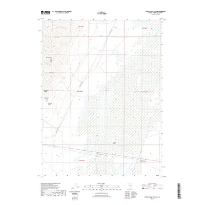
2018 Map of Cherry Creek Station
USGS Topo · Published 2018About this map
Steptoe Valley dominates the eastern half of this landscape, characterized by a vast system of wetlands and water sources that define life in this arid basin. At the center of this hydrographic network lies Cherry Creek Station and the nearby Cherry Creek Hot Springs, which served as vital points of interest for travelers and livestock alike. To the west, the terrain rises sharply into the Cherry Creek Range, where a series of deeply incised drainages like Barton Canyon, Exchequer Canyon, and Montgomery Canyon cut through the high ground. Numerous isolated water sources, including Madelina Spring and Log Cabin Spring, are mapped along the mountain flanks, indicating the critical importance of reliable water in the Nevada high desert. The presence of White Pine Co Road 25 and Steptoe Waterhole underscores the area's continued role as a corridor for movement between the mountains and the valley floor.
Find a feature on this map
24 named features on this map. Tap any name to fly to it.
Don’t see what you’re looking for? This feature index may not catch every label — zoom into the map to look around manually.
Map Details
Editions of this 2018 Cherry Creek Station Map
This is the sole edition of this map. No revisions or reprints were ever made.
Other maps of this area

1955 · Elko
USGS Topo · 1:250,000

1956 · Ely
USGS Topo · 1:250,000

1958 · Elko
USGS Topo · 1:250,000

1959 · Ely
USGS Topo · 1:250,000

1962 · Elko
USGS Topo · 1:250,000

1963 · Ely
USGS Topo · 1:250,000

1965 · Elko
USGS Topo · 1:250,000

1982 · Borchert Spring
USGS Topo · 1:24,000

1982 · Exchequer Spring
USGS Topo · 1:24,000

1982 · Cherry Spring
USGS Topo · 1:24,000