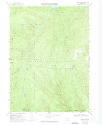
1966 Map of Cherry Grove
USGS Topo · Published 1973About this map
Cherry Grove serves as the focal point for this mid-1960s study of the Warren County highlands, where the Allegheny National Forest and State Game Lands No 29 dominate the landscape. The map reveals a region defined by its natural resources and conservation efforts, from the Allegheny Fish Hatchery to numerous oil wells scattered near Arnot Run. The era's recreational footprint is clear at Chapman State Park and the Hearts Content Recreation Area, while traces of earlier timber or industrial operations persist in labels like Dunham Siding and an Old Railroad Grade near Queen Creek. The dense network of watercourses, including the West Branch Tionesta Creek and Farnsworth Branch, illustrates the complex drainage of the plateau. Genealogists and local historians will find value in the identification of Vandergriff Corners and the Cherry Grove Cem, providing precise locations for family research in this forested terrain.
Find a feature on this map
48 named features on this map. Tap any name to fly to it.
Don’t see what you’re looking for? This feature index may not catch every label — zoom into the map to look around manually.
Map Details
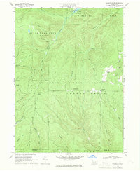
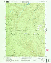
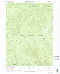
Editions of this 1966 Cherry Grove Map
4 editions found
Other maps of this area

1906 · Warren
USGS Topo · 1:62,500

1907 · Warren
USGS Topo · 1:62,500

1908 · Warren
USGS Topo · 1:62,500

1926 · Youngsville
USGS Topo · 1:62,500

1927 · Tidioute
USGS Topo · 1:48,000

1929 · Youngsville
USGS Topo · 1:62,500

1930 · Tidioute
USGS Topo · 1:62,500

1935 · Sheffield
USGS Topo · 1:48,000

1941 · Sheffield
USGS Topo · 1:62,500

1943 · Youngsville
USGS Topo · 1:62,500