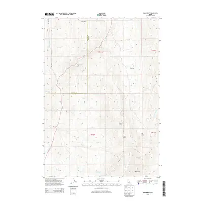
2013 Map of Cherry Gulch
USGS Topo · Published 2013About this map
Squaw Butte dominates the southeastern quadrant of this terrain, marking a significant elevation in the high desert landscape along the border of Payette and Gem Counties. The area is defined by a series of drainages and named gulches that feed into larger systems like Big Willow Cr and Sucker Cr. These water sources were vital for early ranching efforts in this corner of Idaho, evidenced by landmarks such as Lower Corral Creek Spring and the aptly named Willow Ridge.
Find a feature on this map
27 named features on this map. Tap any name to fly to it.
Don’t see what you’re looking for? This feature index may not catch every label — zoom into the map to look around manually.
Map Details
Editions of this 2013 Cherry Gulch Map
This is the sole edition of this map. No revisions or reprints were ever made.
Other maps of this area

1892 · Boise
USGS Topo · 1:125,000

1894 · Squaw Creek
USGS Topo · 1:125,000

1897 · Boise
USGS Topo · 1:125,000

1897 · Weiser
USGS Topo · 1:125,000

1898 · Nampa
USGS Topo · 1:125,000

1953 · Montour
USGS Topo · 1:62,500

1955 · Baker
USGS Topo · 1:250,000

1955 · Boise
USGS Topo · 1:250,000

1958 · Boise
USGS Topo · 1:250,000

1959 · Baker
USGS Topo · 1:250,000