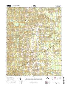
2016 Map of Cherry Hill
USGS Topo · Published 2016About this map
Cherry Hill and its surrounding rural landscapes are captured here at the triple junction of Dinwiddie, Sussex, and Greensville counties. The terrain is defined by a dense network of tributaries including Sappony Cr and Hardwood Creek, which drain toward the Nottoway River at the southern boundary. This area is characterized by a high concentration of family-named burial sites, such as Boisseau Cem, Galusha Cem, and Abernathy Cem, suggesting a long-standing pattern of family-owned farmsteads and ancestral landholdings. Historical transportation routes like Old Stage Rd and Courthouse Rd intersect the landscape, connecting these small communities and isolated homesteads. The presence of Parsons Number One Pond and Parsons Number Two Pond near Manlove Br points to local water management and agricultural utility in this established pocket of Southside Virginia.
Find a feature on this map
61 named features on this map. Tap any name to fly to it.
Don’t see what you’re looking for? This feature index may not catch every label — zoom into the map to look around manually.
Map Details
Editions of this 2016 Cherry Hill Map
This is the sole edition of this map. No revisions or reprints were ever made.
Other maps of this area

1894 · Petersburg
USGS Topo · 1:62,500

1897 · Amelia
USGS Topo · 1:125,000

1919 · Jarratt
USGS Topo · 1:62,500

1919 · Mc Kenney
USGS Topo · 1:48,000

1921 · Mc Kenney
USGS Topo · 1:62,500

1943 · Mc Kenney
USGS Topo · 1:62,500

1943 · De Witt
USGS Topo · 1:24,000

1943 · Dinwiddie
USGS Topo · 1:24,000

1943 · Richmond
USGS Topo · 1:250,000

1944 · Reams
USGS Topo · 1:31,680