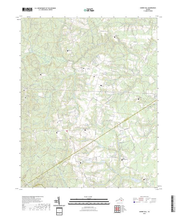
2022 Map of Cherry Hill
USGS Topo · Published 2022About this map
The Nottoway River defines the southwestern corner of this Virginia landscape, where the boundaries of Dinwiddie, Sussex, and Greensville counties converge. This modern survey reveals a countryside deeply connected to its lineage, evidenced by a high density of family burial grounds such as Boisseau Cem, Rose Cem, and Abernathy Cem. These small family plots are scattered between long-established corridors like Old Stage Rd and Courthouse Rd, tracing a settlement pattern that predates the modern grid.
Find a feature on this map
60 named features on this map. Tap any name to fly to it.
Don’t see what you’re looking for? This feature index may not catch every label — zoom into the map to look around manually.
Map Details
Editions of this 2022 Cherry Hill Map
This is the sole edition of this map. No revisions or reprints were ever made.
Other maps of this area

1894 · Petersburg
USGS Topo · 1:62,500

1897 · Amelia
USGS Topo · 1:125,000

1919 · Jarratt
USGS Topo · 1:62,500

1919 · Mc Kenney
USGS Topo · 1:48,000

1921 · Mc Kenney
USGS Topo · 1:62,500

1943 · Mc Kenney
USGS Topo · 1:62,500

1943 · De Witt
USGS Topo · 1:24,000

1943 · Dinwiddie
USGS Topo · 1:24,000

1943 · Richmond
USGS Topo · 1:250,000

1944 · Reams
USGS Topo · 1:31,680