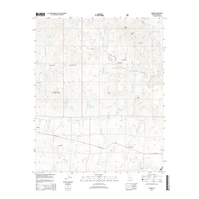
2014 Map of Cherry
USGS Topo · Published 2014About this map
Cherry and Hecla occupy the high, arid basins of the Black Hills, where the transition from high desert to pine-dotted slopes defines the landscape within the Prescott National Forest. This 2014 survey captures a terrain deeply carved by ephemeral drainages such as Cherry Cr, Ash Cr, and Hackberry Wash. The distribution of water sources like Logan Mine Spring, Balky Spring, and Hanks Tank illustrates the vital infrastructure required for ranching and mining in this part of Yavapai County. The mapping of State Hwy 169 crossing the southern portion of the sheet provides context for modern access to these long-established Arizona settlements. Prominent peaks, including Crater Mtn and Onion Mtn, dominate the central horizon, marking the rugged divide between the canyons and the high mesa flats.
Find a feature on this map
71 named features on this map. Tap any name to fly to it.
Don’t see what you’re looking for? This feature index may not catch every label — zoom into the map to look around manually.
Map Details
Editions of this 2014 Cherry Map
This is the sole edition of this map. No revisions or reprints were ever made.
Other maps of this area

1887 · Verde
USGS Topo · 1:250,000

1887 · Prescott
USGS Topo · 1:250,000

1892 · Verde
USGS Topo · 1:250,000

1892 · Prescott
USGS Topo · 1:250,000

1903 · Bradshaw Mountains
USGS Topo · 1:125,000

1905 · Jerome
USGS Topo · 1:125,000

1923 · Camp Verde
USGS Topo · 1:125,000

1929 · Turret Peak
USGS Topo · 1:125,000

1932 · Camp Verde
USGS Topo · 1:125,000

1933 · Turret Peak
USGS Topo · 1:125,000