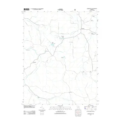
2012 Map of Cherryville
USGS Topo · Published 2012About this map
Cherryville and the nearby settlement of Limberlost anchor this landscape of the Missouri Ozarks, where the drainage of Crooked Creek and Dry Creek carves a complex network of hollows and ridges. The map reveals a deeply rooted rural community, marked by numerous family and church burial grounds including Wilkinson Cemetery, Earney Cemetery, and Gregory Cemetery. These sites, alongside the Earney Mill, indicate a long history of local industry and kinship that persists into the early 21st century.
Find a feature on this map
42 named features on this map. Tap any name to fly to it.
Don’t see what you’re looking for? This feature index may not catch every label — zoom into the map to look around manually.
Map Details
Editions of this 2012 Cherryville Map
This is the sole edition of this map. No revisions or reprints were ever made.
Other maps of this area

1932 · Steelville
USGS Topo · 1:48,000

1933 · Steelville
USGS Topo · 1:62,500

1937 · Steelville
USGS Topo · 1:62,500

1941 · Stone Hill
USGS Topo · 1:62,500

1943 · Berryman
USGS Topo · 1:62,500

1943 · Boss
USGS Topo · 1:62,500

1945 · Stone Hill
USGS Topo · 1:62,500

1945 · Berryman
USGS Topo · 1:62,500

1946 · Boss
USGS Topo · 1:62,500

1949 · Rolla
USGS Topo · 1:250,000