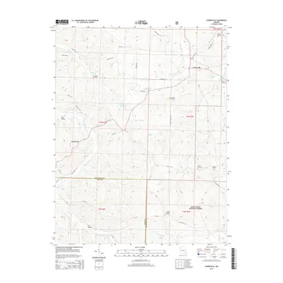
2015 Map of Cherryville
USGS Topo · Published 2015About this map
Cherryville and the rural community of Limberlost center this Ozark landscape, where the Crawford and Dent County lines meet. The terrain is defined by a network of hollows and ridges, including Bates Hollow and Rebel Ridge Rd, which directed the paths of early roads and small family settlements. This 2015 survey reveals a heavy emphasis on local genealogy, preserving the locations of numerous historic burial grounds such as Wilkinson Cemetery, New Home Cemetery, and Gregory Cemetery.
Find a feature on this map
51 named features on this map. Tap any name to fly to it.
Don’t see what you’re looking for? This feature index may not catch every label — zoom into the map to look around manually.
Map Details
Editions of this 2015 Cherryville Map
This is the sole edition of this map. No revisions or reprints were ever made.
Other maps of this area

1932 · Steelville
USGS Topo · 1:48,000

1933 · Steelville
USGS Topo · 1:62,500

1937 · Steelville
USGS Topo · 1:62,500

1941 · Stone Hill
USGS Topo · 1:62,500

1943 · Berryman
USGS Topo · 1:62,500

1943 · Boss
USGS Topo · 1:62,500

1945 · Stone Hill
USGS Topo · 1:62,500

1945 · Berryman
USGS Topo · 1:62,500

1946 · Boss
USGS Topo · 1:62,500

1949 · Rolla
USGS Topo · 1:250,000