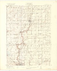
1917 Map of Chesaning
USGS Topo · Published 1917About this map
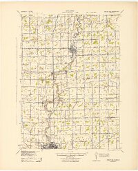
The Shiawassee River snakes through the heart of this landscape, serving as the primary geographic anchor for the riverfront communities of Chesaning, Oakley, and Henderson. This 1917 survey reveals an intricate drainage network of man-made and natural waterways, such as Porter Creek and Gallagher Drain, which were essential for managing the agricultural lands of Saginaw and Shiawassee counties. The local economy is defined by its transit corridors, where the Michigan Central Railroad and Ann Arbor Railroad cross paths with the riverside settlements.
Find a feature on this map
84 named features on this map. Tap any name to fly to it.
Don’t see what you’re looking for? This feature index may not catch every label — zoom into the map to look around manually.
Map Details
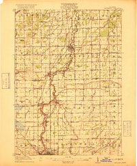
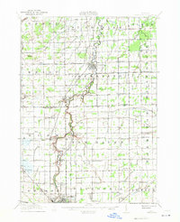
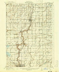
Editions of this 1917 Chesaning Map
4 editions found
Historical Maps of Owosso Through Time
Featured Locations
- New Haven Township, MI
- Owosso, MI
- Chesaning, Chesaning Township
- Oakley, Brady Township
- New Haven, New Haven Township