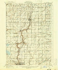
1917 Map of Chesaning
USGS Topo · Published 1941About this map
The Shiawassee River carves a winding path through this central Michigan landscape, serving as the historical anchor for settlements like Chesaning and Oakley. Surveyed just before the late 1910s, the map reveals a highly developed agricultural and industrial grid defined by an extensive system of man-made waterways, including the Blackmar Drain and Dygert Drain, which supported the region's productive flatlands. The intersection of resource extraction and transport is evident at the Six Mile Mine near New Haven, positioned within reach of the robust rail network.
Find a feature on this map
115 named features on this map. Tap any name to fly to it.
Don’t see what you’re looking for? This feature index may not catch every label — zoom into the map to look around manually.
Map Details
Editions of this 1917 Chesaning Map
4 editions found
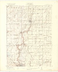
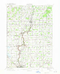
Other maps of this area

1917 · Chesaning
USGS Topo · 1:62,500

1917 · St. Charles
USGS Topo · 1:62,500

1918 · Elsie
USGS Topo · 1:62,500

1919 · Saginaw
USGS Topo · 1:62,500

1919 · Burt
USGS Topo · 1:62,500

1921 · Burt
USGS Topo · 1:62,500

1922 · Durand
USGS Topo · 1:62,500

1926 · Corunna
USGS Topo · 1:62,500

1928 · Laingsburg
USGS Topo · 1:62,500

1929 · Corunna
USGS Topo · 1:62,500