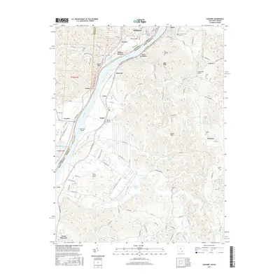
2016 Map of Cheshire
USGS Topo · Published 2016About this map
The Ohio River serves as the central artery for this borderland between Ohio and West Virginia, dictating the development of industrial and rail corridors. Small riverfront communities such as Cheshire and Middleport line the western bank, while West Columbia and the sprawling Lakin state farm complex occupy the eastern shore. The presence of Hobson Junction and numerous numbered survey lots indicates the historical importance of land division and railway logistics in the Meigs County and Mason County region.
Find a feature on this map
139 named features on this map. Tap any name to fly to it.
Don’t see what you’re looking for? This feature index may not catch every label — zoom into the map to look around manually.
Map Details
Editions of this 2016 Cheshire Map
This is the sole edition of this map. No revisions or reprints were ever made.
Other maps of this area

1907 · Pomeroy
USGS Topo · 1:62,500

1907 · Keno
USGS Topo · 1:62,500

1908 · Ravenswood
USGS Topo · 1:62,500

1908 · Point Pleasant
USGS Topo · 1:62,500

1926 · Ravenswood
USGS Topo · 1:62,500

1926 · Point Pleasant
USGS Topo · 1:62,500

1928 · Ravenswood
USGS Topo · 1:62,500

1929 · Point Pleasant
USGS Topo · 1:62,500

1947 · Columbus
USGS Topo · 1:250,000

1949 · Clarksburg
USGS Topo · 1:250,000