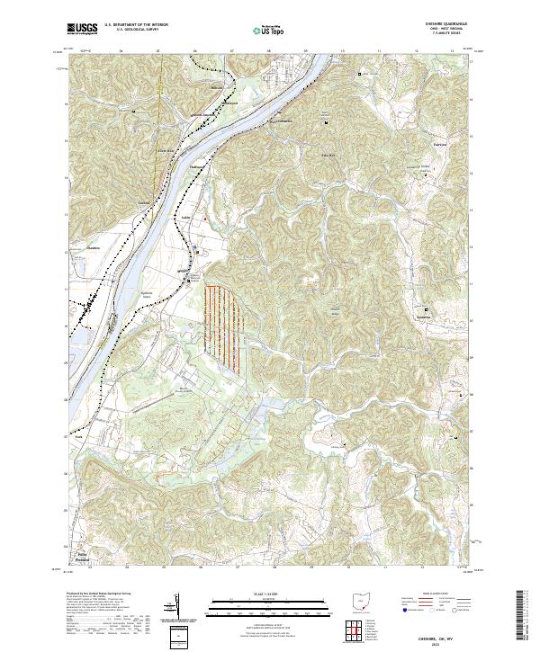
2023 Map of Cheshire
USGS Topo · Published 2023About this map
The Ohio River forms the central spine of this landscape, carving through a region defined by the border of Ohio and West Virginia. On the northern bend, Middleport and the rail hub at Hobson Junction serve as centers of activity, while further south, the Mason County Airport sits on the West Virginia bank near Maggie. The terrain is deeply dissected by numerous watercourses like Leading Creek and Tenmile Creek, which feed into the river valley.
Find a feature on this map
160 named features on this map. Tap any name to fly to it.
Don’t see what you’re looking for? This feature index may not catch every label — zoom into the map to look around manually.
Map Details
Editions of this 2023 Cheshire Map
This is the sole edition of this map. No revisions or reprints were ever made.
Other maps of this area

1907 · Pomeroy
USGS Topo · 1:62,500

1907 · Keno
USGS Topo · 1:62,500

1908 · Ravenswood
USGS Topo · 1:62,500

1908 · Point Pleasant
USGS Topo · 1:62,500

1926 · Ravenswood
USGS Topo · 1:62,500

1926 · Point Pleasant
USGS Topo · 1:62,500

1928 · Ravenswood
USGS Topo · 1:62,500

1929 · Point Pleasant
USGS Topo · 1:62,500

1947 · Columbus
USGS Topo · 1:250,000

1949 · Clarksburg
USGS Topo · 1:250,000