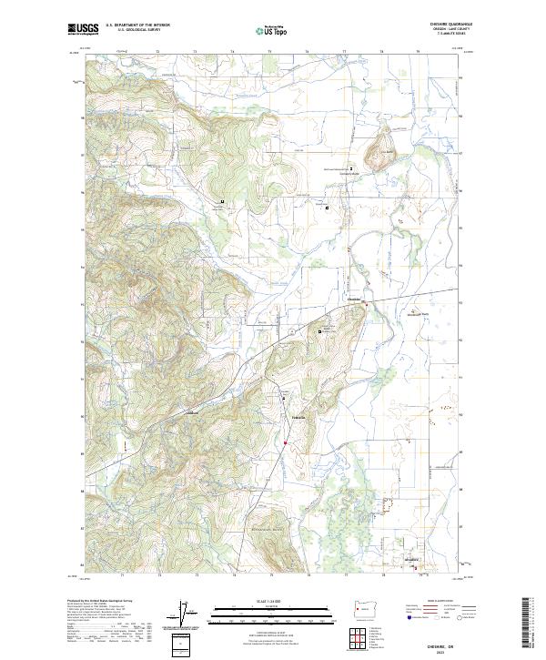
2023 Map of Cheshire
USGS Topo · Published 2023About this map
The Long Tom River meanders through the eastern lowlands of this Lane County landscape, where the settlements of Cheshire, Franklin, and Alvadore anchor a patchwork of small farms and family estates. The area is defined by its transition from the valley floor to the rising timbered slopes of the Coast Range foothills, marked by prominent elevations like Richardson Butte and Cox Butte. A distinctive density of small family burial grounds and community graveyards, including the Union-Turnbow-Mays Cem and the Jones - Kime - Brown Property Cem, provides significant detail for genealogical research.
Find a feature on this map
77 named features on this map. Tap any name to fly to it.
Don’t see what you’re looking for? This feature index may not catch every label — zoom into the map to look around manually.
Map Details
Editions of this 2023 Cheshire Map
This is the sole edition of this map. No revisions or reprints were ever made.
Other maps of this area

1909 · Harrisburg
USGS Topo · 1:31,680

1909 · Elmira
USGS Topo · 1:62,500

1910 · Eugene
USGS Topo · 1:62,500

1911 · Monroe
USGS Topo · 1:31,680

1912 · Halsey
USGS Topo · 1:62,500

1922 · Monroe
USGS Topo · 1:62,500

1922 · Elmira
USGS Topo · 1:62,500

1939 · Monroe
USGS Topo · 1:62,500

1940 · Eugene
USGS Topo · 1:62,500

1941 · Halsey
USGS Topo · 1:62,500