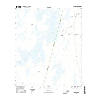
2014 Map of Chesser Island
USGS Topo · Published 2014About this map
Chesser Island and the elevated reach of Trail Ridge anchor this landscape along the boundary of Ware and Charlton counties. The area is defined by an intricate network of wetlands and islands, where naming conventions like Big Cypress Camp Island and Goose House Gap reflect a long history of local navigation and hunting. Access into the interior is marked by specialized paths such as the Canal Diggers Trail, Cane Pole Trail, and Longleaf Pine Trail, which skirt the edges of shallow water bodies like Buck Lake and Buzzards Roost Lake. The concentration of "islands"—including Hog Island, Charles Island, and Horse Island—demonstrates how slightly higher ground dictated movement and seasonal usage in this saturated environment during the early 21st century.
Find a feature on this map
24 named features on this map. Tap any name to fly to it.
Don’t see what you’re looking for? This feature index may not catch every label — zoom into the map to look around manually.
Map Details
Editions of this 2014 Chesser Island Map
This is the sole edition of this map. No revisions or reprints were ever made.
Other maps of this area

1918 · Folkston
USGS Topo · 1:62,500

1918 · Moniac
USGS Topo · 1:62,500

1942 · Moniac
USGS Topo · 1:62,500

1954 · Valdosta
USGS Topo · 1:250,000

1956 · Eddy
USGS Topo · 1:24,000

1958 · Valdosta
USGS Topo · 1:250,000

1959 · Valdosta
USGS Topo · 1:250,000

1965 · Chesser Island
USGS Topo · 1:24,000

1965 · Chase Prairie
USGS Topo · 1:24,000

1965 · Blackjack Island
USGS Topo · 1:24,000