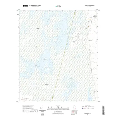
2020 Map of Chesser Island
USGS Topo · Published 2020About this map
The Okefenokee Swamp dominates this landscape along the boundary of Ware and Charlton counties, where a network of prairies, lakes, and islands reveals a complex wetland ecosystem. Named islands such as Hog Island and Chesser Island rise above the marshy expanses of Mizell Prairie and Chesser Prairie. These dry patches of land historically provided essential refuges and navigation points within the swamp, exemplified by the presence of Fort Tompkins and the Boat House near the northeastern edge. A system of paths including the Homestead Trail and Ridley Island Trail provides access to interior points like Big Cypress Camp Island. Farther south, the terrain includes Horse Island and Number One Island, connected by the expansive Coward Lake Prairie and several smaller water bodies like Buzzards Roost Lake.
Find a feature on this map
32 named features on this map. Tap any name to fly to it.
Don’t see what you’re looking for? This feature index may not catch every label — zoom into the map to look around manually.
Map Details
Editions of this 2020 Chesser Island Map
This is the sole edition of this map. No revisions or reprints were ever made.
Other maps of this area

1918 · Folkston
USGS Topo · 1:62,500

1918 · Moniac
USGS Topo · 1:62,500

1942 · Moniac
USGS Topo · 1:62,500

1954 · Valdosta
USGS Topo · 1:250,000

1956 · Eddy
USGS Topo · 1:24,000

1958 · Valdosta
USGS Topo · 1:250,000

1959 · Valdosta
USGS Topo · 1:250,000

1965 · Chesser Island
USGS Topo · 1:24,000

1965 · Chase Prairie
USGS Topo · 1:24,000

1965 · Blackjack Island
USGS Topo · 1:24,000