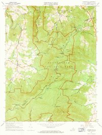
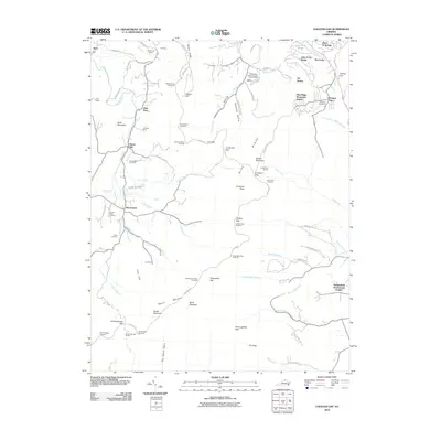
1967 Map of Chester Gap
USGS Topo · Published 1968About this map
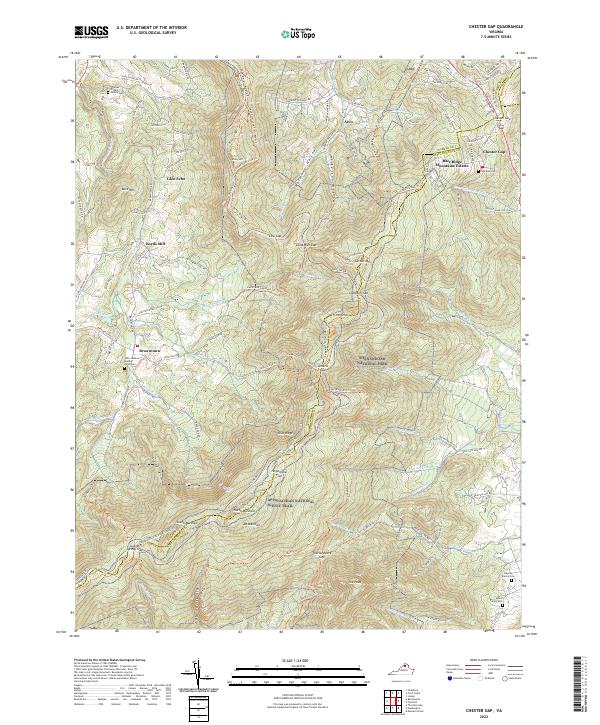
Shenandoah National Park dominates this mid-century landscape, bisected by the high-elevation Skyline Drive and the Appalachian Trail. The terrain is defined by prominent gaps and peaks, including Jenkins Gap, Compton Peak, and the massive Mount Marshall. Along the western slopes, the settlement of Browntown sits near Browntown Ch and Boyds Mill, where the topography transitions from the steep Blue Ridge into the valleys of Gooney Run and Smith Creek.
Find a feature on this map
63 named features on this map. Tap any name to fly to it.
Don’t see what you’re looking for? This feature index may not catch every label — zoom into the map to look around manually.
Map Details
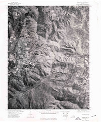
Editions of this 1967 Chester Gap Map
2 editions found
Historical Maps of Chester Gap Through Time
8 maps found
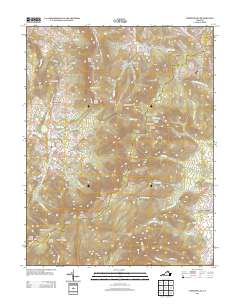
1967 Chester Gap
Rappahannock County, VA
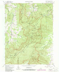
1972 Chester Gap
Rappahannock County, VA
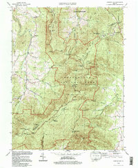
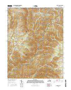
1994 Chester Gap
Rappahannock County, VA
2010 Chester Gap
Rappahannock County, VA
2013 Chester Gap
Rappahannock County, VA
2016 Chester Gap
Rappahannock County, VA
2019 Chester Gap
Rappahannock County, VA
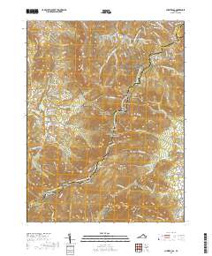
2022 Chester Gap
Rappahannock County, VA
Featured Locations
- Shenandoah Homesteads Project, VA
- Chester Gap, VA
- Glen Echo, VA
- Browntown, VA
- Skyline View Mobile Home Park, VA