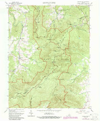
1967 Map of Chester Gap
USGS Topo · Published 1987About this map
Shenandoah National Park dominates this topographic landscape, where the high ridges of the Blue Ridge meet the rolling valley floor. The survey highlights the essential corridor of Skyline Drive and the Appalachian Trail as they snake along the spine of the mountains, passing numerous overlooks such as Hogwallow Flat Overlook and Gimlet Ridge Overlook. This era of the park's development is well-documented, showing established recreational infrastructure like the Dickey Ridge Visitor Center and the Gravel Springs Shelter.
Find a feature on this map
58 named features on this map. Tap any name to fly to it.
Don’t see what you’re looking for? This feature index may not catch every label — zoom into the map to look around manually.
Map Details
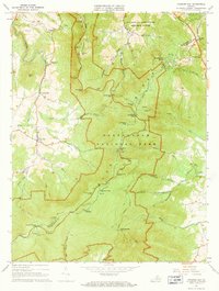
Editions of this 1967 Chester Gap Map
2 editions found
Other maps of this area

1893 · Luray
USGS Topo · 1:125,000

1905 · Luray
USGS Topo · 1:125,000

1929 · Stony Man
USGS Topo · 1:48,000

1933 · Stony Man
USGS Topo · 1:62,500

1939 · Front Royal
USGS Topo · 1:48,000

1944 · Front Royal
USGS Topo · 1:62,500

1947 · Strasburg
USGS Topo · 1:62,500

1949 · Charlottesville
USGS Topo · 1:250,000

1950 · Strasburg
USGS Topo · 1:62,500

1956 · Charlottesville
USGS Topo · 1:250,000
Featured Places
- Chester Gap, VA
- Shenandoah Homesteads Project, VA
- Glen Echo, VA
- Browntown, VA
- Skyline View Mobile Home Park, VA