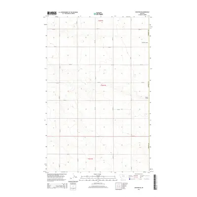
2014 Map of Chester NE
USGS Topo · Published 2014About this map
The northern plains of Hill County are defined by a rhythmic grid of agricultural access roads and deep topographic incisions. Two significant drainage features, Fourmile Coulee and O'Brien Coulee, cut through the terrain, illustrating the natural erosion patterns of this high prairie landscape. The area is dominated by an orderly system of section-line routes including 1800 Rd S and 2200 Rd E, which facilitate the region's ranching and farming operations.
Find a feature on this map
20 named features on this map. Tap any name to fly to it.
Don’t see what you’re looking for? This feature index may not catch every label — zoom into the map to look around manually.
Map Details
Editions of this 2014 Chester NE Map
This is the sole edition of this map. No revisions or reprints were ever made.
Other maps of this area

1919 · Alma
USGS Topo · 1:125,000

1954 · Shelby
USGS Topo · 1:250,000

1958 · Shelby
USGS Topo · 1:250,000

1963 · Joplin
USGS Topo · 1:24,000

1963 · Bobcat Coulee SE
USGS Topo · 1:24,000

1963 · Vaver Reservoir
USGS Topo · 1:24,000

1963 · Chester NW
USGS Topo · 1:24,000

1963 · Chester NE
USGS Topo · 1:24,000

1963 · Chester
USGS Topo · 1:24,000

1972 · Goldstone SW
USGS Topo · 1:24,000