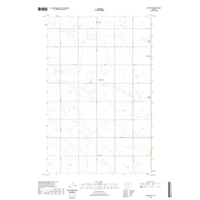
2020 Map of Chester NE
USGS Topo · Published 2020About this map
Hill County's high plains are defined by an extensive grid of section lines and gravel paths, where the terrain subtly gives way to erosion-carved drainages. This landscape is marked by the deep incisions of Fourmile Coulee in the northeast and O'Brien Coulee further south, features that interrupt the agricultural uniformity of the plains. The map records the eastern boundary of Liberty County, highlighting the intersection of administrative lines and rural transportation. A dense network of local routes, including Smith Rd, Bison Rd, and Haul Rd, facilitates movement across the township sections, illustrating the organized spatial development of this northern Montana region. This 2020 edition provides a clear view of the rural infrastructure and natural drainage patterns essential for understanding local land use and property boundaries.
Find a feature on this map
10 named features on this map. Tap any name to fly to it.
Don’t see what you’re looking for? This feature index may not catch every label — zoom into the map to look around manually.
Map Details
Editions of this 2020 Chester NE Map
This is the sole edition of this map. No revisions or reprints were ever made.
Other maps of this area

1919 · Alma
USGS Topo · 1:125,000

1954 · Shelby
USGS Topo · 1:250,000

1958 · Shelby
USGS Topo · 1:250,000

1963 · Joplin
USGS Topo · 1:24,000

1963 · Bobcat Coulee SE
USGS Topo · 1:24,000

1963 · Vaver Reservoir
USGS Topo · 1:24,000

1963 · Chester NW
USGS Topo · 1:24,000

1963 · Chester NE
USGS Topo · 1:24,000

1963 · Chester
USGS Topo · 1:24,000

1972 · Goldstone SW
USGS Topo · 1:24,000