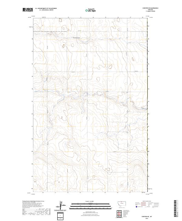
2024 Map of Chester NE
USGS Topo · Published 2024About this map
Fourmile Coulee and O'Brien Coulee carve through the high plains of northern Montana, defining the local hydrology in this section of Liberty Co. The landscape is organized by a precise grid of rural thoroughfares, including Smith Rd and Bison Rd, which facilitate transport across the agricultural and grazing lands of the Big Sky State. Mapping of these township and range boundaries, such as t34n r7e, reveals the enduring influence of the Public Land Survey System on modern land management and ownership patterns. The prevalence of named local routes like Haul Rd and Co Rd 224 underscores a terrain where road names are vital landmarks for navigation between distant homesteads and range markers.
Find a feature on this map
13 named features on this map. Tap any name to fly to it.
Don’t see what you’re looking for? This feature index may not catch every label — zoom into the map to look around manually.
Map Details
Editions of this 2024 Chester NE Map
This is the sole edition of this map. No revisions or reprints were ever made.
Other maps of this area

1919 · Alma
USGS Topo · 1:125,000

1954 · Shelby
USGS Topo · 1:250,000

1958 · Shelby
USGS Topo · 1:250,000

1963 · Joplin
USGS Topo · 1:24,000

1963 · Bobcat Coulee SE
USGS Topo · 1:24,000

1963 · Vaver Reservoir
USGS Topo · 1:24,000

1963 · Chester NW
USGS Topo · 1:24,000

1963 · Chester NE
USGS Topo · 1:24,000

1963 · Chester
USGS Topo · 1:24,000

1972 · Goldstone SW
USGS Topo · 1:24,000