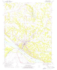
1970 Map of Chester
USGS Topo · Published 1977About this map
Chester sits perched above a sharp bend in the Mississippi River, serving as a focal point for commerce and industry along the Missouri Pacific railroad lines. The landscape is defined by the complex relationship between the river and the land, where an extensive Levee system and Old Levee protect the low-lying Kaskaskia Island and Bois Brule bottoms from flooding. This 1970s survey captures the riverfront at a time when the Toll Bridge provided a vital link between Illinois and Missouri, and the State Penitentiary at Menard stood as a major local institution.
Find a feature on this map
36 named features on this map. Tap any name to fly to it.
Don’t see what you’re looking for? This feature index may not catch every label — zoom into the map to look around manually.
Map Details
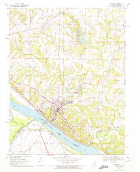
Editions of this 1970 Chester Map
2 editions found
Other maps of this area

1912 · Baldwin
USGS Topo · 1:62,500

1914 · Baldwin
USGS Topo · 1:62,500

1914 · Coulterville
USGS Topo · 1:62,500

1915 · Chester
USGS Topo · 1:62,500

1916 · Campbell Hill
USGS Topo · 1:62,500

1917 · Coulterville
USGS Topo · 1:62,500

1918 · Campbell Hill
USGS Topo · 1:62,500

1942 · Baldwin
USGS Topo · 1:62,500

1947 · Chester
USGS Topo · 1:62,500

1949 · Paducah
USGS Topo · 1:250,000