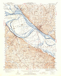
1947 Map of Chester
USGS Topo · Published 1964About this map
Kaskaskia Island dominates this stretch of the Mississippi River, showcasing the complex jurisdictional boundary between Illinois and Missouri. The map illustrates a landscape shaped by water and iron, where the Missouri Pacific and St Louis and San Francisco railroads intersect with river landings like Farmers Ldg and Okaw Ldg. A significant historical footprint is visible at Old Kaskaskia and the nearby Fort Gage, which sit across the water from the sprawling Penitentiary (Menard) at Chester.
Find a feature on this map
82 named features on this map. Tap any name to fly to it.
Don’t see what you’re looking for? This feature index may not catch every label — zoom into the map to look around manually.
Map Details
Editions of this 1947 Chester Map
3 editions found

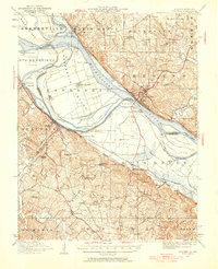
Other maps of this area

1907 · Weingarten
USGS Topo · 1:62,500

1909 · Weingarten
USGS Topo · 1:62,500

1910 · Higdon
USGS Topo · 1:62,500

1912 · Baldwin
USGS Topo · 1:62,500

1914 · Baldwin
USGS Topo · 1:62,500

1914 · Coulterville
USGS Topo · 1:62,500

1915 · Renault
USGS Topo · 1:62,500

1915 · Chester
USGS Topo · 1:62,500

1916 · Campbell Hill
USGS Topo · 1:62,500

1917 · Coulterville
USGS Topo · 1:62,500