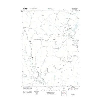
2012 Map of Chester
USGS Topo · Published 2012About this map
Chester and its surrounding Windsor County hamlets are documented here at a time when the region's historical architecture and modern infrastructure existed side-by-side. The village of North Chester and the industrial-rooted Chester Depot serve as the area's primary hubs, while smaller settlements like Baileys Mills and Spoonerville maintain their rural identity. A high concentration of burial grounds, including the Baltimore Cem and Brookside Cem, offers significant detail for genealogical research into the families of the Williams River valley.
Find a feature on this map
151 named features on this map. Tap any name to fly to it.
Don’t see what you’re looking for? This feature index may not catch every label — zoom into the map to look around manually.
Map Details
Editions of this 2012 Chester Map
This is the sole edition of this map. No revisions or reprints were ever made.
Other maps of this area

1926 · Claremont
USGS Topo · 1:62,500

1927 · Bellows Falls
USGS Topo · 1:48,000

1928 · Ludlow
USGS Topo · 1:48,000

1929 · Claremont
USGS Topo · 1:62,500

1929 · Ludlow
USGS Topo · 1:62,500

1930 · Saxtons River
USGS Topo · 1:48,000

1930 · Bellows Falls
USGS Topo · 1:62,500

1932 · Ludlow
USGS Topo · 1:62,500

1933 · Saxtons River
USGS Topo · 1:62,500

1950 · Glens Falls
USGS Topo · 1:250,000