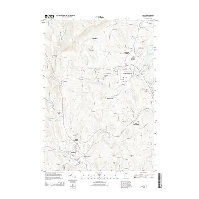
2015 Map of Chester
USGS Topo · Published 2015About this map
Chester and North Springfield anchor this detailed landscape in southeastern Vermont, where the Williams River and Black River systems carve through the local topography. The map illustrates a dense network of local history, from the Green Mountain RR line following the river valley to the iconic Downers Covered Bridge crossing. Settlement patterns are defined by small communities like Baileys Mills, Spoonerville, and Perkinsville, each situated along traditional water and road corridors. High points such as Hawks Mtn and the uniquely named Old Shincracker overlook a terrain marked by numerous family and community burial grounds, including the Grout Cem and Oakland Cem. Aviation infrastructure is represented by the Hartness State Airport, while several reservoirs and brooks suggest a long history of water management and industrial utility.
Find a feature on this map
144 named features on this map. Tap any name to fly to it.
Don’t see what you’re looking for? This feature index may not catch every label — zoom into the map to look around manually.
Map Details
Editions of this 2015 Chester Map
This is the sole edition of this map. No revisions or reprints were ever made.
Other maps of this area

1926 · Claremont
USGS Topo · 1:62,500

1927 · Bellows Falls
USGS Topo · 1:48,000

1928 · Ludlow
USGS Topo · 1:48,000

1929 · Claremont
USGS Topo · 1:62,500

1929 · Ludlow
USGS Topo · 1:62,500

1930 · Saxtons River
USGS Topo · 1:48,000

1930 · Bellows Falls
USGS Topo · 1:62,500

1932 · Ludlow
USGS Topo · 1:62,500

1933 · Saxtons River
USGS Topo · 1:62,500

1950 · Glens Falls
USGS Topo · 1:250,000