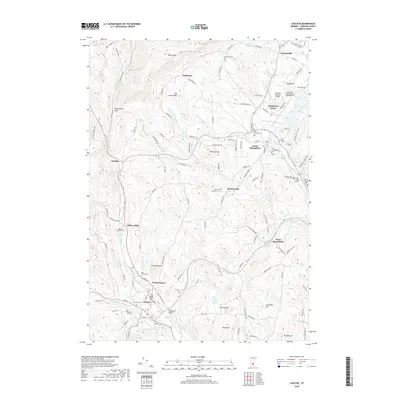
2018 Map of Chester
USGS Topo · Published 2018About this map
Chester and North Chester sit at the confluence of the Middle Branch Williams River and S Br Williams River, serving as the southern anchor for a landscape of scattered hills and valley settlements. To the north, the Black River winds past the Hartness State Airport, while landmarks like the Downers Covered Bridge reflect the enduring infrastructure of Windsor County. This area is defined by its numerous small hamlets, including Perkinsville, Baltimore, Gassetts, and Spoonerville, many of which grew around the river systems and early mountain roads. The terrain is marked by significant rises such as Hawks Mtn and Old Shincracker, with local history preserved in a dense network of family and community graveyards like Brookside Cem and the Baileys Mills Cem. A notable ecological feature, the North Springfield Bog, lies just south of North Springfield, providing a contrast to the high ridges of Mt Ephraim and Mt Flamstead.
Find a feature on this map
127 named features on this map. Tap any name to fly to it.
Don’t see what you’re looking for? This feature index may not catch every label — zoom into the map to look around manually.
Map Details
Editions of this 2018 Chester Map
This is the sole edition of this map. No revisions or reprints were ever made.
Other maps of this area

1926 · Claremont
USGS Topo · 1:62,500

1927 · Bellows Falls
USGS Topo · 1:48,000

1928 · Ludlow
USGS Topo · 1:48,000

1929 · Claremont
USGS Topo · 1:62,500

1929 · Ludlow
USGS Topo · 1:62,500

1930 · Saxtons River
USGS Topo · 1:48,000

1930 · Bellows Falls
USGS Topo · 1:62,500

1932 · Ludlow
USGS Topo · 1:62,500

1933 · Saxtons River
USGS Topo · 1:62,500

1950 · Glens Falls
USGS Topo · 1:250,000