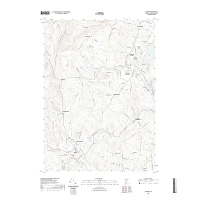
2021 Map of Chester
USGS Topo · Published 2021About this map
Chester and North Chester anchor the southwestern portion of this Windsor County landscape, where the Williams River and its multiple branches carve through the Vermont hills. The settlement pattern follows the narrow valleys, with Baileys Mills and Spoonerville appearing as small, distinct communities nestled between peaks like Mt Flamstead and Whitney Hill. The cartography reveals a high concentration of small burial grounds, including Brookside Cem and Field Number 1-Day Cem, which offer significant value for genealogical research in this long-settled region.
Find a feature on this map
136 named features on this map. Tap any name to fly to it.
Don’t see what you’re looking for? This feature index may not catch every label — zoom into the map to look around manually.
Map Details
Editions of this 2021 Chester Map
This is the sole edition of this map. No revisions or reprints were ever made.
Other maps of this area

1926 · Claremont
USGS Topo · 1:62,500

1927 · Bellows Falls
USGS Topo · 1:48,000

1928 · Ludlow
USGS Topo · 1:48,000

1929 · Claremont
USGS Topo · 1:62,500

1929 · Ludlow
USGS Topo · 1:62,500

1930 · Saxtons River
USGS Topo · 1:48,000

1930 · Bellows Falls
USGS Topo · 1:62,500

1932 · Ludlow
USGS Topo · 1:62,500

1933 · Saxtons River
USGS Topo · 1:62,500

1950 · Glens Falls
USGS Topo · 1:250,000