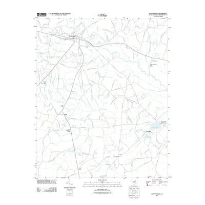
2011 Map of Chesterfield
USGS Topo · Published 2011About this map
The town of Chesterfield serves as the focal point of this South Carolina landscape, where a dense network of country roads intersects with numerous waterways. The terrain is defined by the drainages of Thompson Creek and Indian Creek, which supported a historic milling economy evidenced by features like the Merriman Millpond, Robeson Millpond, and Hunts Mill. These water bodies and their associated dams illustrate how local geography was harnessed for industry and community life.
Find a feature on this map
123 named features on this map. Tap any name to fly to it.
Don’t see what you’re looking for? This feature index may not catch every label — zoom into the map to look around manually.
Map Details
Editions of this 2011 Chesterfield Map
This is the sole edition of this map. No revisions or reprints were ever made.
Other maps of this area

1941 · Spartanburg
USGS Topo · 1:250,000

1942 · Rockingham
USGS Topo · 1:125,000

1953 · Florence
USGS Topo · 1:250,000

1953 · Spartanburg
USGS Topo · 1:250,000

1954 · Florence
USGS Topo · 1:250,000

1960 · Spartanburg
USGS Topo · 1:250,000

1963 · Spartanburg
USGS Topo · 1:250,000

1964 · Spartanburg
USGS Topo · 1:250,000

1968 · Chesterfield
USGS Topo · 1:24,000

1968 · Patrick
USGS Topo · 1:24,000