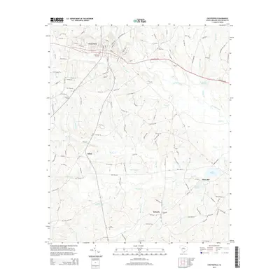
2014 Map of Chesterfield
USGS Topo · Published 2014About this map
The town of Chesterfield serves as the focal point of this South Carolina landscape, where the street grid of the county seat transitions into a rural topography defined by numerous creeks and historic mill sites. Settlement patterns follow the high ground between the drainage of Thompson Creek and Indian Cr, with community life centered around small hubs like Shiloh, Bethesda, and Hunts Mill. Genealogists will find a high concentration of burial grounds, including Chesterfield City Cem, Pine Grove Cem, and Shiloh Cem. The area's agricultural and industrial heritage is evident in the cluster of remaining millponds, such as Teals Millpond, Robeson Millpond, and Merriman Millpond, which represent the historical water-powered economy of the region. The map also traces various branches and prongs, such as Twitty Prong and Mount Prong Cr, that feed into the larger Bear Creek system.
Find a feature on this map
139 named features on this map. Tap any name to fly to it.
Don’t see what you’re looking for? This feature index may not catch every label — zoom into the map to look around manually.
Map Details
Editions of this 2014 Chesterfield Map
This is the sole edition of this map. No revisions or reprints were ever made.
Other maps of this area

1941 · Spartanburg
USGS Topo · 1:250,000

1942 · Rockingham
USGS Topo · 1:125,000

1953 · Florence
USGS Topo · 1:250,000

1953 · Spartanburg
USGS Topo · 1:250,000

1954 · Florence
USGS Topo · 1:250,000

1960 · Spartanburg
USGS Topo · 1:250,000

1963 · Spartanburg
USGS Topo · 1:250,000

1964 · Spartanburg
USGS Topo · 1:250,000

1968 · Chesterfield
USGS Topo · 1:24,000

1968 · Patrick
USGS Topo · 1:24,000