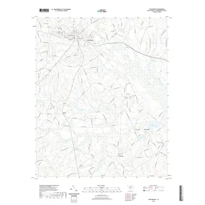
2020 Map of Chesterfield
USGS Topo · Published 2020About this map
The Chesterfield County Courthouse stands as the central landmark of this region, which is defined by a dense network of watercourses and historic millponds. The town of Chesterfield is situated atop higher ground north of Thompson Creek, surrounded by established burial grounds such as Chesterfield City Cem and Oakland Cem. The landscape to the south and east transitions into more complex hydrography, where settlements like Shiloh and Bethesda are linked by rural routes passing Bear Cr and Little Bear Cr.
Find a feature on this map
140 named features on this map. Tap any name to fly to it.
Don’t see what you’re looking for? This feature index may not catch every label — zoom into the map to look around manually.
Map Details
Editions of this 2020 Chesterfield Map
This is the sole edition of this map. No revisions or reprints were ever made.
Other maps of this area

1941 · Spartanburg
USGS Topo · 1:250,000

1942 · Rockingham
USGS Topo · 1:125,000

1953 · Florence
USGS Topo · 1:250,000

1953 · Spartanburg
USGS Topo · 1:250,000

1954 · Florence
USGS Topo · 1:250,000

1960 · Spartanburg
USGS Topo · 1:250,000

1963 · Spartanburg
USGS Topo · 1:250,000

1964 · Spartanburg
USGS Topo · 1:250,000

1968 · Chesterfield
USGS Topo · 1:24,000

1968 · Patrick
USGS Topo · 1:24,000