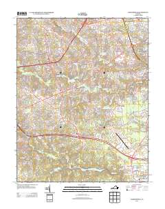
2013 Map of Chesterfield
USGS Topo · Published 2013About this map
Chesterfield Court House stands as the historic civic heart of this landscape, situated just south of the Chesterfield County Airport and the expansive Swift Cr Lake. This 2013 survey illustrates a suburban and semi-rural transition south of Richmond, characterized by a dense network of residential subdivisions such as Wedgewood, Robinwood, and Worthington Farms. The area is defined by its numerous small reservoirs and winding waterways, including Falling Creek and Pocoshock Creek, which have been utilized for recreation at sites like the Licking Cr Fishing Club Lake and Gregorys Pond.
Find a feature on this map
224 named features on this map. Tap any name to fly to it.
Don’t see what you’re looking for? This feature index may not catch every label — zoom into the map to look around manually.
Map Details
Editions of this 2013 Chesterfield Map
This is the sole edition of this map. No revisions or reprints were ever made.
Other maps of this area

1890 · Goochland
USGS Topo · 1:125,000

1892 · Goochland
USGS Topo · 1:125,000

1894 · Bermuda Hundred
USGS Topo · 1:62,500

1894 · Richmond
USGS Topo · 1:62,500

1895 · Richmond
USGS Topo · 1:62,500

1897 · Amelia
USGS Topo · 1:125,000

1934 · Richmond
USGS Topo · 1:24,000

1936 · Richmond West
USGS Topo · 1:24,000

1938 · Drewrys Bluff
USGS Topo · 1:24,000

1939 · Richmond
USGS Topo · 1:31,680